
Overview
Route Details
- This is called the Glen Banvie Trail and is waymarked by orange arrows the whole way round – although the cycle route we have made is slightly different at the start.
- Avoid this route when the Blair Horse Trails are on as the area is then extremely busy and has restricted access.

Route Description
After parking at the visitors centre, head for the main castle gates. The pedestrian entrance is to the right of the gates (if the gates are closed). Turn right after the caravan park and head along that track to a T-junction with a road – turn left here and follow the road until you come to a cross roads with another road – continue straight ahead onto the estate track. Follow this track for 1km uphill then bear left down and over a bridge over the river. Turn right and continue uphill

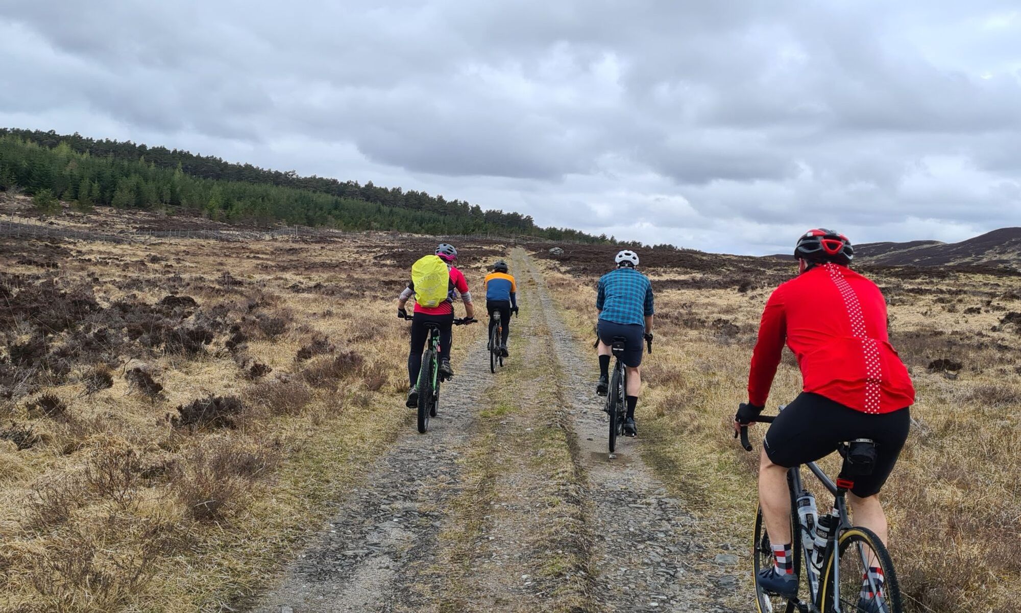
When the track splits to go downhill to the right, continue straight on to a gate that takes you out onto the moors. On this gate there is the orange waymarker arrows that this route follows.

Continue on this track for 9km without turning off.

You will pass through ancient Scots Pines, a couple of gates and into forestry land.

Once you begin to descend you are have far reaching views over the River Garry and onto Tay Forest Park. Towards the end of the descent the track does become quite steep.

There are a few tracks leading off – but if in doubt always follow the orange way markers!

The track eventually meets another track in a T Junction. Turn right to continue downhill then shortly after this turn left. You are now on one of General Wades Military Roads. This private road will lead you all the way back past the castle where you will retrace your steps back to the carpark.

Route Map
Local Services
Discover and support local businesses along the route.
Bike Services & Rentals
If you're in need of some extra supplies, a hand with some quick bike repairs or looking to hire something new, you can rely on our trusted friends below.
- Escape Route -Bike Shop
- Beyond Adventure -Outdoor Guide, Bike Rental
