Overview
Route Details
- Enjoy views over the valley of Strathmore from quiet roads and gravel tracks.
- Ride part of the old Strathmore railway
Route Video
Route Description
Adaptive gravel routes have been ridden and audited by Adaptive Riders Collective. Perthshire Gravel supplies maps, GPX data, a description of the trails and images of any obstacles so that riders can make their own decision of route suitability for their equipment and ability.
Please also be aware of how weather can affect trail conditions.
Adaptive routes are more likely to be suited to less-skilled riders, families towing cycles or trailers, riders of tricycles, or riders unable to manage lifting cycles over gates or fences. Whilst every endeavour is made to clearly describe routes and obstacles, Perthshire Gravel does not control or regularly review routes and therefore makes no guarantee of accessibility.
The Route
Starting at Larghan Victory Park in Coupar Angus, keep the road to your right, head along the park to the end then left onto the road.
Follow this road until the T-Junction when you turn left then the first right. Turn right at the next T-Junction and just before the village turn left at School Brae at 3.8km. Follow this route up, bearing left at the next junction and left again at the T-junction. Next turn right and follow the track up to the road.
Turn right onto the road then, just after some houses, turn left onto the track with a waymark sign for Lundie Crags and Tullybachart. Follow this track up the hill, through a small carpark and out into the woods. At 8km turn left downhill on a gravel track that brings you down to the road.
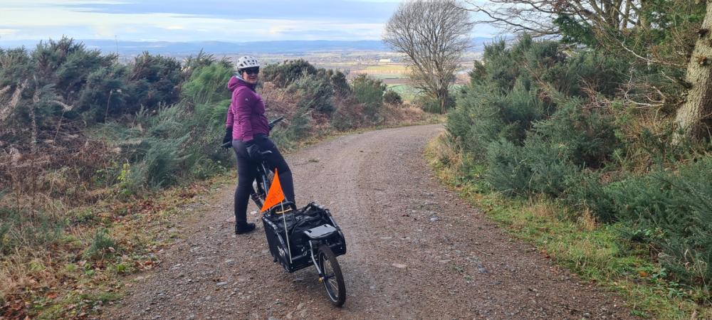
Turn right onto the road then at 10.2km take the left track downhill. Please be aware that there are some washed out sections on the right hand side of this track.
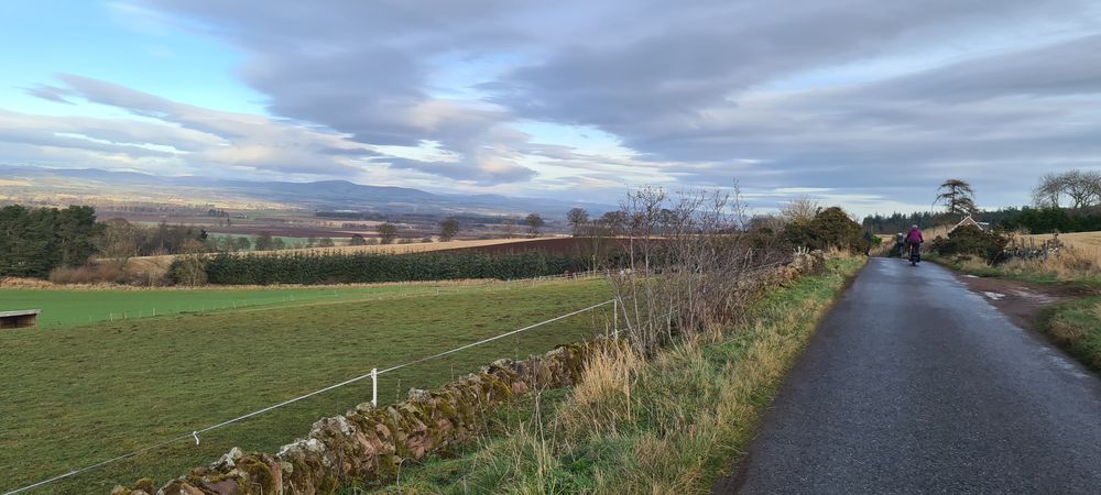
At the road turn right then the 2nd left and take the next two lefts. Continue to 15.7km when you turn right between two houses and stone wall. Follow this gravel track to just before the end when you turn left onto another gravel track towards the woods. Follow this track past a house and turn right into the woods.
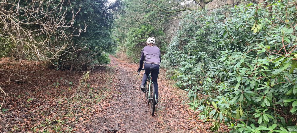
Continue on this track through the woods past the big house until you reach the road. Turn left onto the road.
At the T-Junction turn right if you wish to stop for a coffee and cake or left to continue back towards Coupar Angus.
Follow the road into Meigle and turn left at the T-junction then left again at the next T-Junction. Flour Café is on your left.
Double back from the café to where you came out of the woods then take the first left. Follow this road - past the gravel track you previously took - to 21.6km where you will turn right onto a grass track of an old railway line, waymarked to Ardler. Follow this old railway until the village.
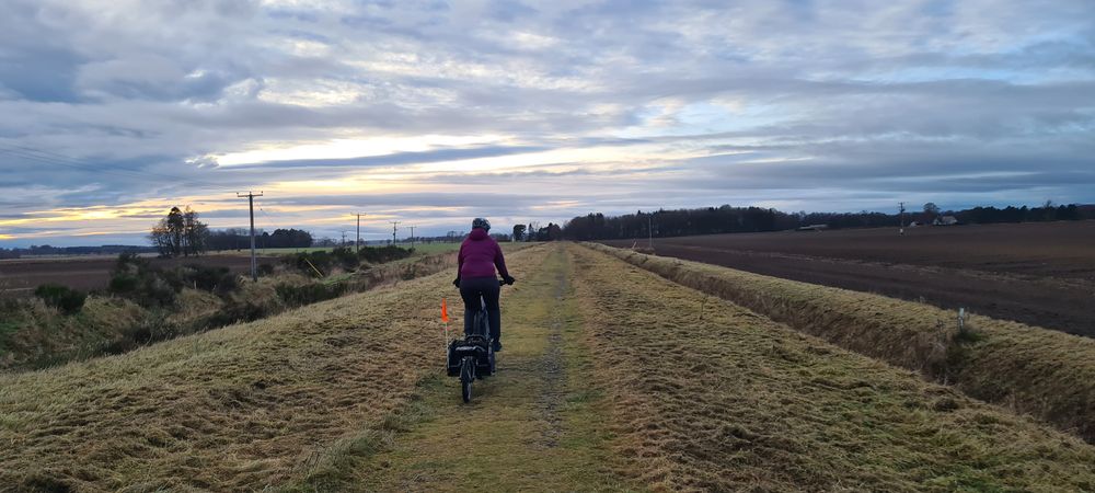
You will bear right at the end of the track and follow a side street into the village, turn left onto the main village road. Follow this road - passing the Barry Box Farm Shop (which has excellent cakes and fresh made berry icecream!) on your right.
Continue on this road until the right hand turn, signposted to Coupar Angus. Follow your outward route back to the park, through Coupar Angus and back to the park.
Route Map
Local Services
Discover and support local businesses along the route.
Bike Services & Rentals
If you're in need of some extra supplies, a hand with some quick bike repairs or looking to hire something new, you can rely on our trusted friends below.
- Strathmore Cycle Hub -Bike Repair
- Alyth Cycles -Bike Shop
