Overview
Route Details
Route Description
This route starts at the Moulin Inn, which has been inviting visitors since three centuries and, with its own brewery, is a popular stop for cyclists for food and refreshments. From here the route crosses a field past the ruins of Black Castle, so named due to its abandonment in fear of the plague in the 16th century. A network of small walking paths is followed to Milton of Edradour, with Edradour Distillery, the smallest distillery in Scotland, just a few hundred metres off the route.
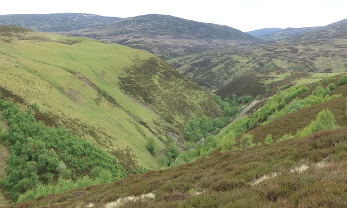
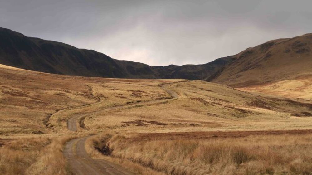
From Milton of Edradour the route follows tarmac roads to Straloch at the eastern end of Glen Fearnach. A smooth tarmac road turns into a well-maintained gravel track at Daldhu. The road crosses a busy farm, caution is needed here. From here the glen narrows and the gradients become steeper, until reaching a pass at 655 m, the highest point on the entire route. Entering a truly remote glen with no shelter, a good gravel track ends at Fealar Lodge. This a working sheep farm and its grassy surroundings provide a welcome change from the heather-clad hills. Please treat the environment with respect and follow the signs around the lodge, not through the lodge.
From the lodge the going gets much tougher. Although a track is often clearly visible, some of it from here is over boggy upland areas and requires pushing the bike. Once leaving the surroundings of the farm, a washed out path descends steeply towards the River Tilt. Several sections require pushing the bike. Crossing the river can be dangerous if it’s in spate.
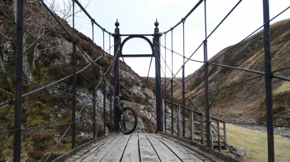
After crossing the Tilt the route joins a popular route from Blair Atholl to Deeside through Glen Tilt, which is often described as one of the most beautiful glens in Scotland. Heading south the track gradually improves until reaching the Falls of Tarf. Both the falls and Bedford Bridge are impressive landmarks. Crossing the deep pool at the falls would otherwise be impossible. After another pretty technical section the route uses a well-maintained double track past Marble Lodge.
The route continues on a smooth gravel track through the glen, crossing the river at Gilberts Bridge. The next section passes through a Rifle Range. Please check with Atholl Estates Office (01796 481355) before setting off. If closed, a path to Fenderbridge from Auchghobal provides an alternative route.
Following the River Tilt the route follows a small path on the left just before Old Bridge of Tilt, crossing the road on a distinct stone bridge, before rejoining it at the carpark. After Old Bridge of Tilt the route follows a small path on the eastern side of the river, which rejoins the road at Bridge of Tilt. Crossing the River Tilt again the route follows the B 8079 into Blair Atholl. Blair Atholl has a range of small shops and a hotel to stay and eat. The Atholl Arms is the sister hotel to the Moulin Inn and offers local beers and pub food. The Atholl Country Life Museum, including the recreated Trinafour Post Office, and Blair Castle and its gardens, are both worth a visit. As a short detour, a visit to the Wasted Degrees brewery and taproom is recommended, which is situated in a small industrial estate on the B 8079 west of the village. Very welcoming of cyclists, this is a great stop for a quick pint or a meal.
The route leaves the main road at the Atholl Arms and follows a small road to the train station. Regular trains run from Blair Atholl back to Pitlochry daily, this is an alternative end to the route.
Shortly afterwards the route continues over a footbridge across the River Garry, offering fantastic views across the river and towards the west. A cycle path follows the southern bank of the river until it passes underneath the A 9 and rejoins a minor road towards Killiecrankie, passing a few small farms on the way. The road crosses the River Garry again into Killiecrankie, where the route joins the B 8079 for a short while towards the Pass of Killiecrankie. A small track on the left passes the Killiecrankie Hotel, before joining the road again. The Pass of Killiecrankie is an impressive wooded gorge, which is a popular beauty spot, well-known for the Jacobite battle which took place nearby.
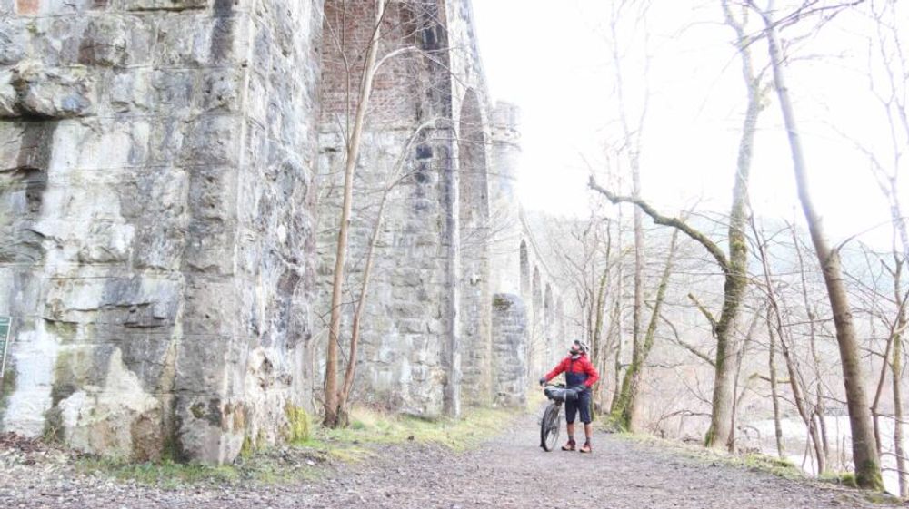
Shortly before the visitors centre the route follows a path towards The Soldier’s Leap, where a redcoat called Donald McBane jumped across the river between two rocks with a cataract running between them. The gap he cleared has since been measured as 5.5 m wide. After a set of wooden steps, over which bikes need to be carried, the route passes an impressive railway viaduct, and follows a wide track sandwiched between river and railway line to Garry Bridge, a popular bungee jumping location.
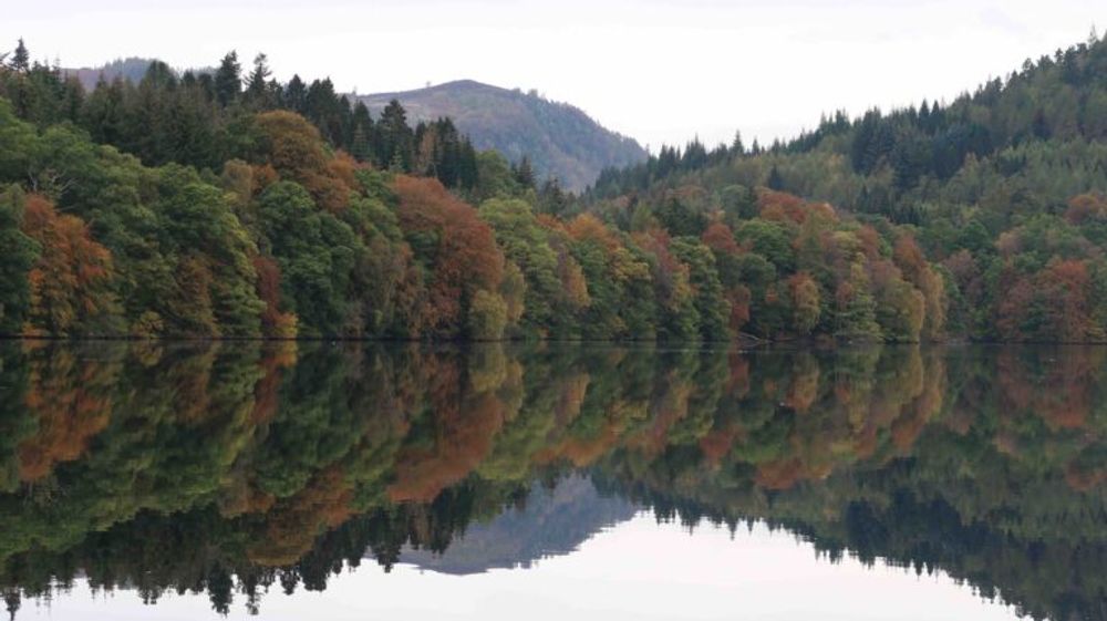
The path narrows and continues along the River Faskally, where it joins a minor road to Faskally Forest. From here the route continues on a forest track over Dunmore Hill to meet the B 8019 just before Pitlochry. The route follows the road until Larchwood Road, and continues on tarmac towards The Cuiic, a small loch and a last opportunity to rest. Past the golf course the route follows the road back to Moulin Inn.
Route Map
Local Services
Discover and support local businesses along the route.
Bike Services & Rentals
If you're in need of some extra supplies, a hand with some quick bike repairs or looking to hire something new, you can rely on our trusted friends below.
- Escape Route -Bike Shop
- Draft & Flow Community Cycle Workshop -Bike Repair
- Beyond Adventure -Outdoor Guide, Bike Rental
