Overview
Route Details
- Visit a ruined windmill and cycle along the base of the Ochils
- Can easily be extended by coming from Perth City on the NCN Route 775 to Bridge of Earn.
Route Video
Route Description
Adaptive gravel routes have been ridden and audited by Adaptive Riders Collective. Perthshire Gravel supplies maps, GPX data, a description of the trails and images of any obstacles so that riders can make their own decision of route suitability for their equipment and ability.
Please also be aware of how weather can affect trail conditions.
Adaptive routes are more likely to be suited to less-skilled riders, families towing cycles or trailers, riders of tricycles, or riders unable to manage lifting cycles over gates or fences. Whilst every endeavour is made to clearly describe routes and obstacles, Perthshire Gravel does not control or regularly review routes and therefore makes no guarantee of accessibility.
The Route
Starting from the Earn Coffee Shop, head towards the village then turn right towards Forgandenny on the B935. Head over the railway bridge. As the road bears left go straight on to the farm track. Follow this track past some buildings. As it turns a sharp left alongside a walled garden, look out for the red deer herd in the next field on your right. Continue along this track and follow it to the right.
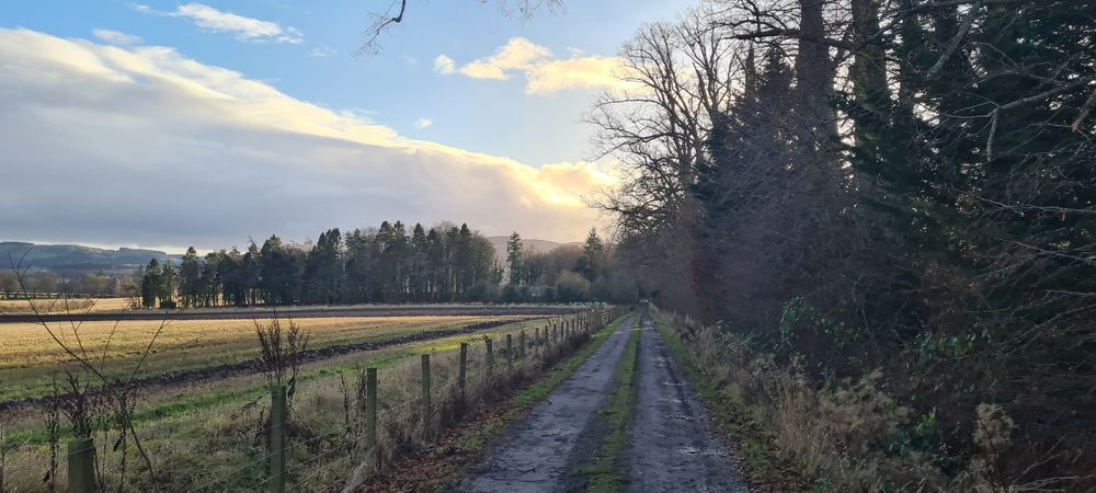
At the T-junction go straight on to the narrow path between the fields. A little bit of care is needed on this path due to a slight slope to the right in places. It can become a bit overgrown but is always passable.
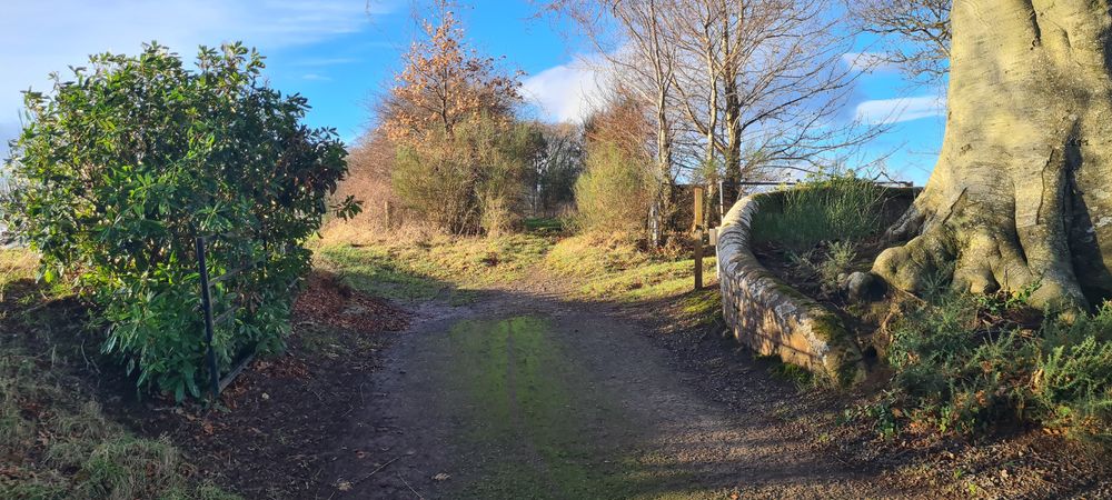
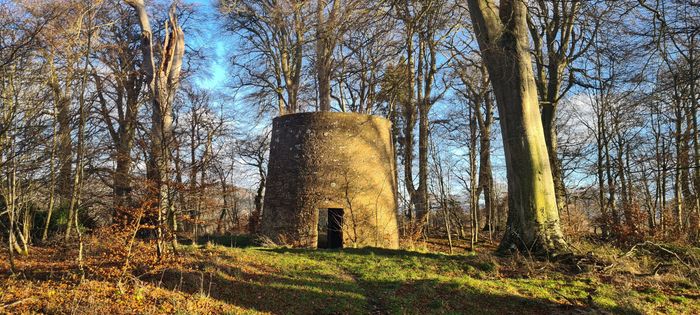
This path winds its way to the wood where you will pass Dunbarney House Windmill. A vaulted tower mill dating to the early 18th century, it is a scheduled monument and Category B listed building. Continue out of the wood through the gate.

Turn right onto the road and follow this until you go down a hill and through a farmyard. Please take care in the farmyard for moving vehicles and loose animals. Note: Just before the road turns down to the farm there is a sign for a 'Public Foothpath' straight ahead. Don't take this path, go down through the farm.

Continue right and follow the main road - winding through the countryside - all the way to Forgandenny. At the main road turn left and follow the road up the hill past Strathallan School. Just at the top of the hill - opposite Bonthrone Security Services - turn right onto a farm track between the houses. Take care due to oncoming traffic over the brow of the hill.
Follow this track, winding towards the Ochils and through a working farm. Please be aware of any farm vehicles or loose animals on the farm. The track dips down and back up again then takes a left turn to follow alongside the bottom of the hills. The waymarked route takes you through a field on a good farm track but if the gates are shut and you prefer not to use them, then simply continue the gravel track all the way past some houses to a farmyard where the waymarked route comes out. Continue on this track/drive until you come to a road junction.
Go straight on at this point and up the hill. As the road bears right take a sharp left around a gate and onto a farm track than heads back down the hill. Follow this track all the way down to meet a road. Turn right on the road, then follow round to the left and meet up to a main road T-junction. Turn right and retrace your route over the railway bridge and back to the village. Turn left and retrace your route back towards the cafe.
Just after the bridge, turn right towards Rhynd. Follow this road along the flat then up to the left up the hill for 7.5km until you reach a turn on the left with a brown signpost to Moncrieff hill.
Head through the carpark then follow the gpx up the hill , winding along forestry tracks. Please be aware that there are drainage bumps on this track. A Bowhead Reach, XCR and Lasher adaptive cycles all managed to get over them with care. Keep an eye out for some artwork on the way.
The GPX route skirts around the summit of Moncrieff Hill, which is challenging to reach the summit of on an adaptive bike due to ruts, track camber and growth over the path. There are several lookout spots on the north and south sides of the hill on the route, and several signposted options to get to the top of the hill if desired.
Wherever you choose, enjoy the views then it's a fast descent down - again this has drainage bumps so do take care.
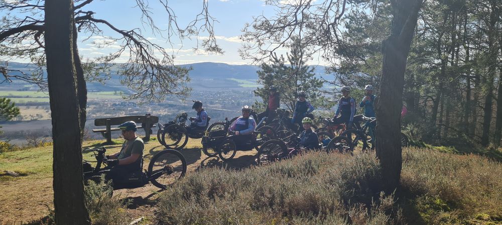
Once down past the carpark join a gravel track that brings you back onto the Rhynd road. Turn right and follow the road to the T-Junction. Turn right again and head back to the cafe.
Route Map
Local Services
Discover and support local businesses along the route.
Bike Services & Rentals
If you're in need of some extra supplies, a hand with some quick bike repairs or looking to hire something new, you can rely on our trusted friends below.
- J M Richards Cycles -Bike Repair
- The Bike Station -Bike Repair
