Overview
Route Details
Route Description
The route starts at the Old Bridge of Tilt car park. From here the route gently climbs on a well-maintained landrover track alongside the River Tilt to Gilberts Bridge. After the bridge the gradient gets steeper, as the route passes through a rifle range. Please check for rifle range activity dates/times on the Atholl Estates website (https://atholl-estates.co.uk/estate-activities/activities/walking-cycling/) before setting off. If the range is in operation, an alternative route is to carry on without crossing the bridge, and then taking the grassy track after Auchgobhal to Fenderbridge and back to Old Bridge of Tilt.
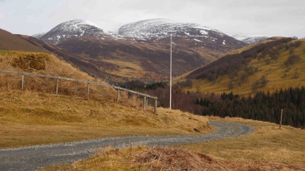
The view across Glen Tilt at the top of the range is breathtaking, before the track climbs gently through the forest. At the edge of the forest the route continues over open farmland. This section can get very muddy, and it’s not recommended for cycling in wet conditions. The track improves as it enters the forest again. A beautiful stone bridge leads over the Banvie Burn in the Whim Plantation. From here the route climbs gradually on a smooth landrover track, first through the forest, and then through the open moorland of Glen Banvie, with views towards Meall Dubh. The route enters the forest again close to the highest point of the route at 390 m.
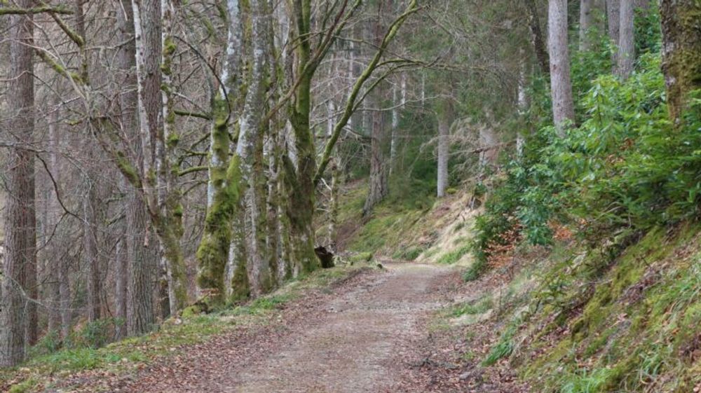
A double track descends south through Banvie Wood alongside the Water of Bruar. This can get boggy in wet conditions, but the track is well sheltered from wind and rain. Before meeting another forest track the descend gets steeper and loose, extra care is needed here. Shortly afterwards a viewpoint offers great views to the Falls of Bruar. The falls have been a tourist attraction since the 18th century and were immortalized in a poem by Robert Burns, The Humble Petition of Bruar Water to the Noble Duke of Atholl.
From the lookout the route continues to Balnacroft, where it crosses the railway line and joins the B 8079. The House of Bruar is only a short detour from here, it is a very popular stop with travellers, and offers plenty of opportunities to eat. The shop offers local delicacies.
The route continues on the B 8079 on Sustrans NCN 7 to stone arch and a lodge on the western edge of the Blair Castle grounds. Passing through an iron gate (please respect the residents privacy) and across a small bridge, the route continues on a smooth gravel track along the grounds of the castle, passing a small loch on the left. It then joins a small tarmac road to Old Blair and back to the car park.

Route Map
Local Services
Discover and support local businesses along the route.
Bike Services & Rentals
If you're in need of some extra supplies, a hand with some quick bike repairs or looking to hire something new, you can rely on our trusted friends below.
- Escape Route -Bike Shop
- Beyond Adventure -Outdoor Guide, Bike Rental
