Overview
Route Details
Route Description
The route starts outside the Atholl Country Life Museum and follows the B 8079 and crosses the bridge of the river. After the bridge the route follows a small path along the river to Old Bridge of Tilt, from where it crosses the river again and continues for a short section on tarmac to Old Blair.
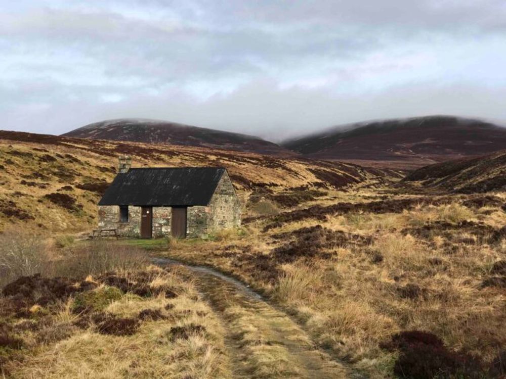
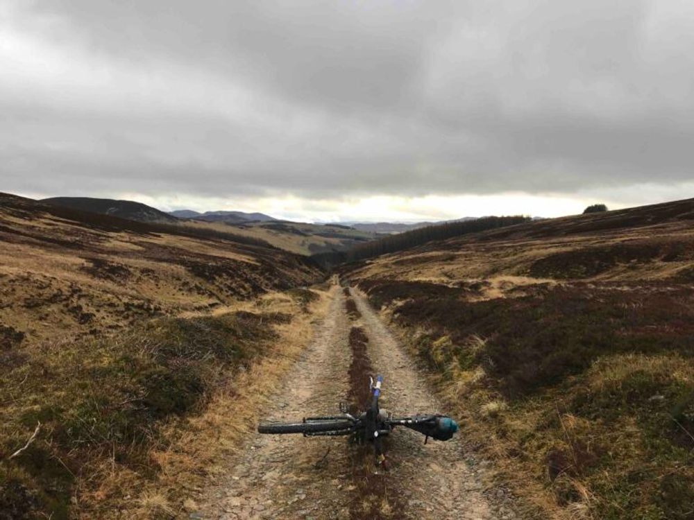
From Old Blair a well-maintained gravel track climbs steadily north, following Allt Stanaidh past Carn Dearg Mor, reaching the highest point at 610 m before descending on a washed out and rough track through Allt Scheicheachan to the MBA bothy with the same name. The small bothy is an ideal place to spend the night or shelter from bad weather. It has two spaces on sleeping platforms and a fireplace in the main room, and additional space to sleep in the attic.
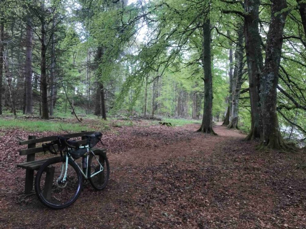
From the bothy the route continues on a good landrover track, with another short climb and a then long descent as reward, with the Allt an t Seapail and Allt na Moine Baine running alongside the route. Shortly after the track meets the Banvie Burn and finally a forest. From here a path on the right descends to a small bridge over the river. The route follows the river for a short section and then continues on a well-maintained track through the Whim Plantation. The track crosses a smooth gravel road alongside the northern boundary of Blair Castle and shortly afterwards meets the road again at Woodend, from where it leads back to Blair Atholl. Shortly before the village, on a small industrial estate to the left, Wasted Degrees brewery and taproom is very welcoming of cyclists for a quick pint or a meal.
Route Map
Local Services
Discover and support local businesses along the route.
Bike Services & Rentals
If you're in need of some extra supplies, a hand with some quick bike repairs or looking to hire something new, you can rely on our trusted friends below.
- Escape Route -Bike Shop
- Beyond Adventure -Outdoor Guide, Bike Rental
