
Overview
Route Details
- Can easily be extended to visit the village of Dunning
- Can be extended into a figure-of-eight loop by adding in the Fargie Loop ride on the opposite side of the A9.

Route Video
Route Description
The Route
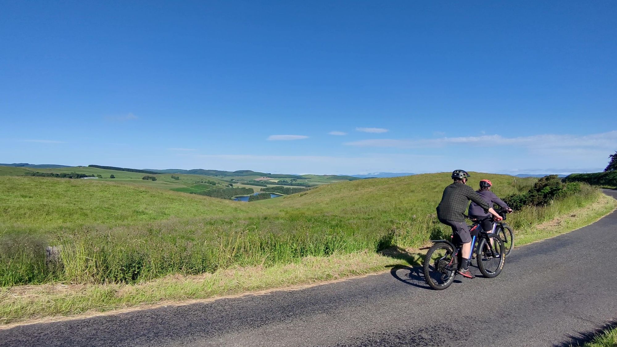
Starting from the Glenfarg Village Store (or from parking nearby at Wallace Park), head along Greenbank Road and then west up Hayfield Road. This quickly steepens and winds through shady trees before breaking out at the high point of the loop (261m), affording fabulous views north over Glenfarg Reservoir and Strathearn to Glen Almond and the hills beyond.
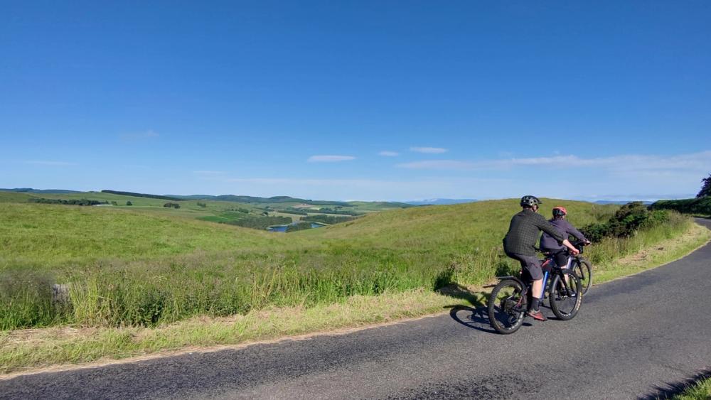
The road is signposted 40MPH - Walking & Cycling Friendly - and you are likely to meet few vehicles. That said, the road is entirely single-lane with passing places and many blind corners, so take your time and admire the views.
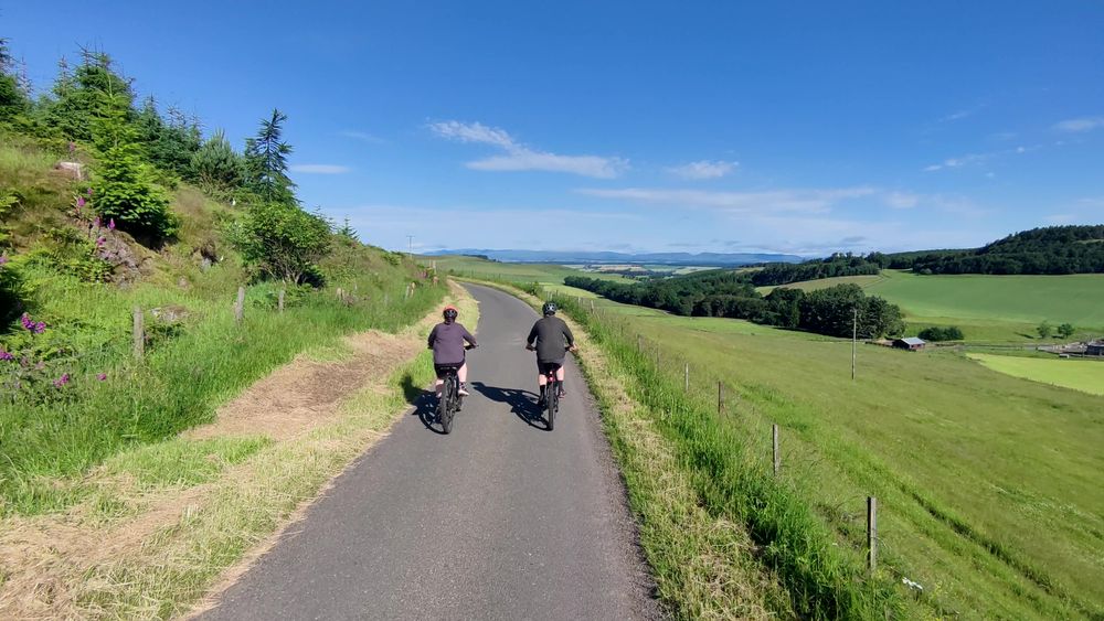
After 8km there is a steep descent through old woodland down to Ardargie, where the road forks left at 9km and crosses the Water Of May. This is the first turning, so it’s hard to get lost.
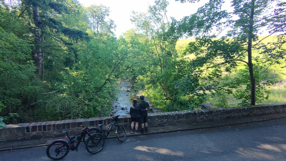
After crossing the Water of May the road winds amongst farmland, turning left again after 13km at the Mains of Condie. There is an immediate steep zig-zag descent down to cross the Water of May again, then another climb out of the valley onto the high ground.
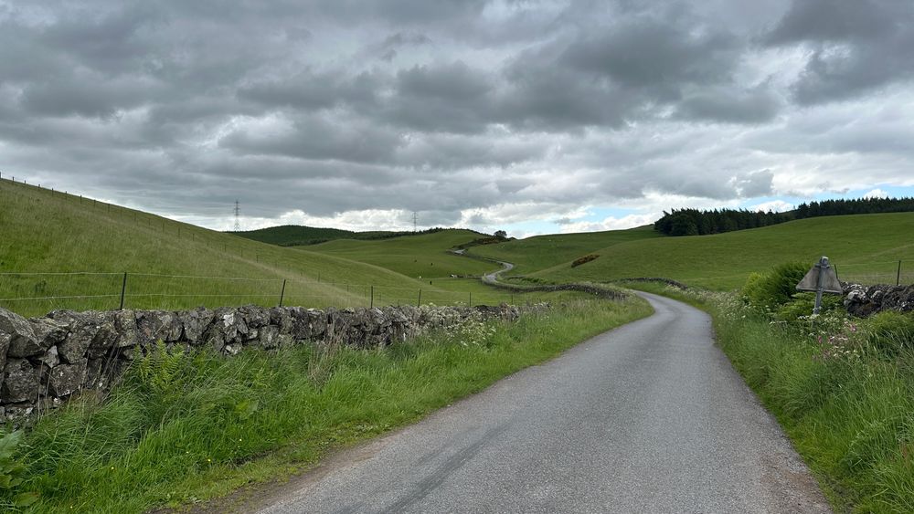
The next 6km roll through open country with views north to the Lochelbank windfarm and occasionally east to the Lomond Hills in Fife.
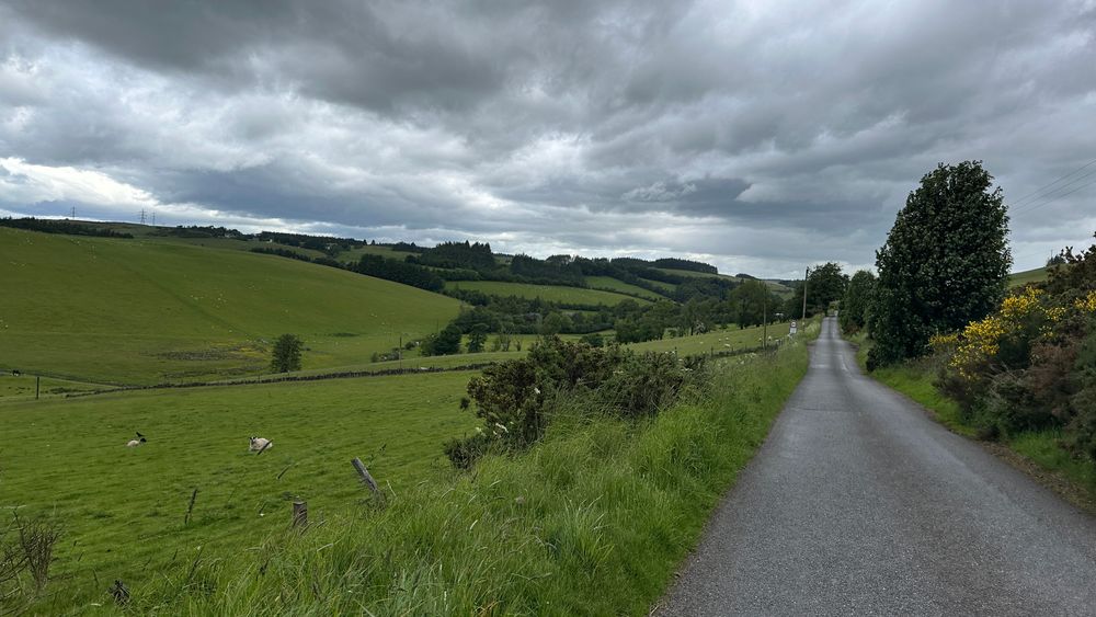
After passing the Springhall forestry plantation at 20km you turn left again, still on a 40MPH road, and enjoy a long straight descent back into Glenfarg and the start point.
Local notes:
e-Bikes can be borrowed from Glenfarg Freewheelers at their discretion and depending on availability. To book a bike contact Glenfarg Freewheelers 07436 419585 or email Freewheelers@glenfarg.org
Community Centre Coffee morning with cakes on Thursday mornings 10 to 11.30am
Rides with other cyclists of various distances are available most Thursdays after coffee for others to join. These aren’t lead rides but all are welcome.
—-
This route was created by CycleRx thanks to grant funding from the RWE Lochelbank Wind Farm Community Benefit Fund and Foundation Scotland.
Route Map
Local Services
Discover and support local businesses along the route.
Bike Services & Rentals
If you're in need of some extra supplies, a hand with some quick bike repairs or looking to hire something new, you can rely on our trusted friends below.
