Overview
Route Details
- There are several stream crossings, mostly small, but 2 could be challenging after heavy rainfail
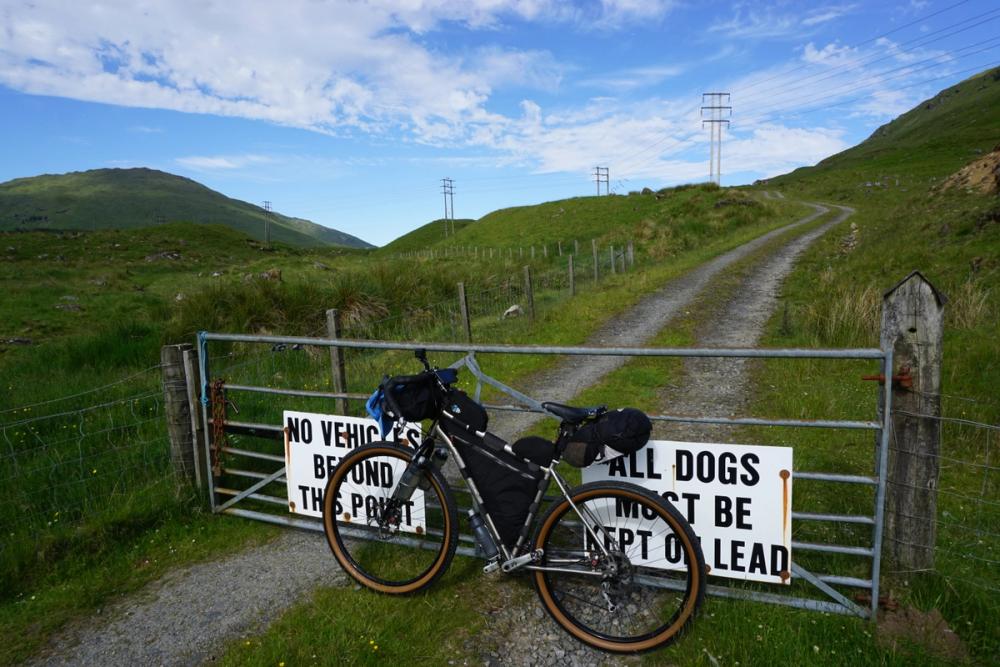
- There may be locked gates, requiring you to lift your bike
Route Description
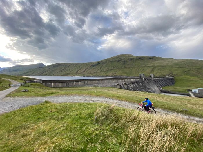
Starting and finishing at the top of Glen Lyon, just below the Lubreoch Dam, this loop around Loch Lyon will take you to some of the most remote and spectacular areas of Perthshire. Even the drive to start is outstanding.
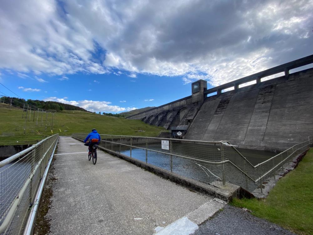
The route can be done in either direction, clockwise or counter-clockwise, but clockwise is suggested as the initial hill is slightly easier. From Pubil, cycle west toward the dam, up the small building just below the dam, and over the small bridge over the dam outlet at the base. From here you'll take a take a hard left and up a single switchback to reach the top of the dam.
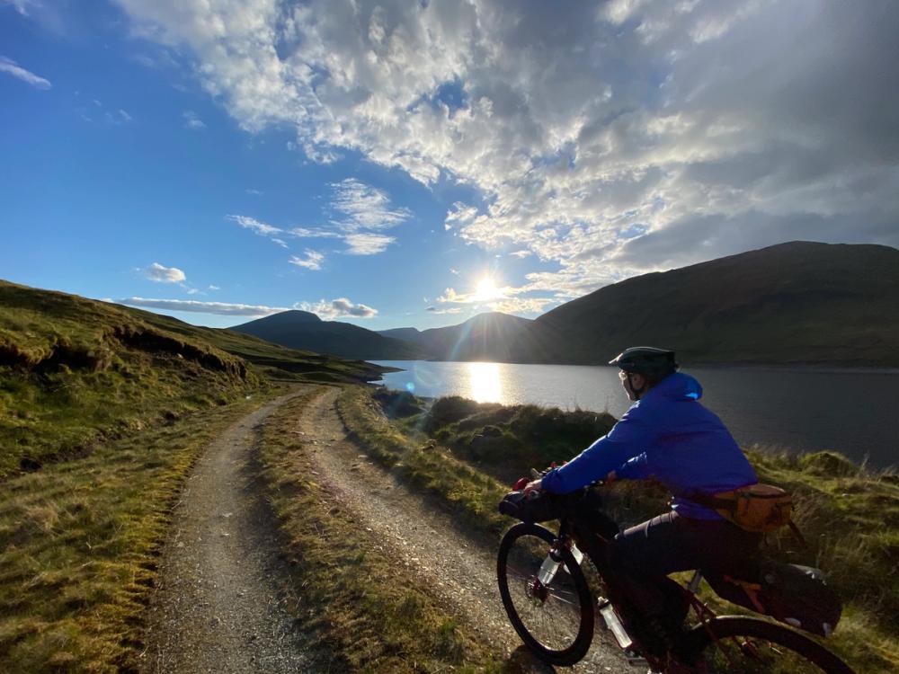
At the dam you'll pass through a gate (sometimes locked, so lifting the bike may be necessary) and continue along the gravel road along the south side of Loch Lyon. On a clear day there are several great viewpoints looking up west and east down the loch, so be sure to stop and take it in. The next few miles are generally rolling hills with several stream crossings, many rideable, but some have larger loose rock and enough run-off you may want to dismount.

As you cycle west you may think you're nearing the end of the loch, but don't be fooled. The loch curves around to the left (south), obscuring the far end until the ~10km mark. You'll know you're getting close to the west end when you see a large hut.
After passing the hut follow the track down to Abhainn Ghlas and cross at the ford spot. Once across the stream the track turns northeast along the west side of the loch for a short time, then crosses another similar stream.
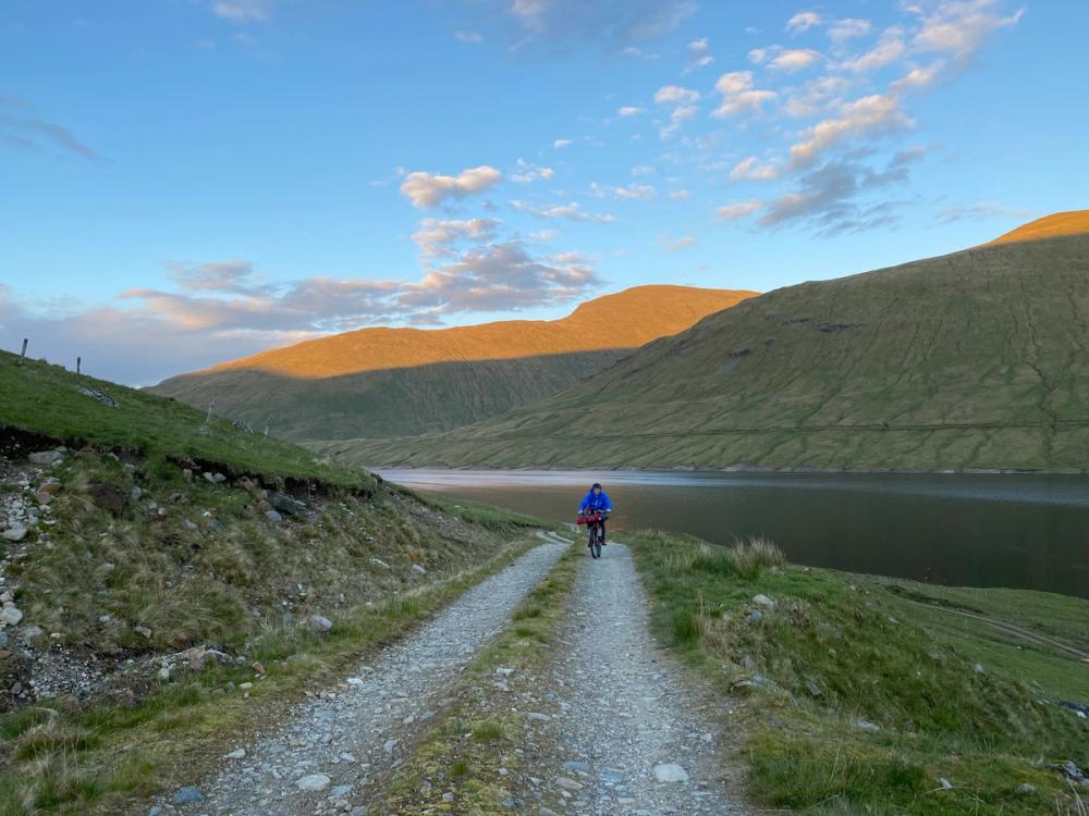
At the north-west side of the loch you'll reach a junction. Continue right (east) to continue the loop and return to Pubil.
However, if you're looking for an option to extend your adventure the track that heads west (up the hill) from here is a great excursion. The hill is short-lived, and once over the top leads to miles of glorious, flowy, gravel roads all the way to Kinglass Viaduct and the West Highland Way.
Continuing along the north side of the loch is much the same as the south side. There are several small stream crossings, almost all rideable and great views up and down the loch. And similar to the south side, you may again be fooled into thinking you don't have much farther to go. About halfway along the north-side there's a large dog-leg which requires you to cycle north, up and around the Allt Cailliche drainage. At the top of the dog-leg is another wide, but often rideable stream crossing.
The remaining miles along the loch are mostly small rollers and streams, until you reach the eastern end of the loch. Shortly before the end you'll face a steep but relatively short climb, providing great views up and down the valley.
From here, it's all downhill back to the start. The descent is steep, and contains 2 switchbacks so check your speed, and be aware there's a solid gate at the bottom you don't want to run into.
Route Map
Local Services
Discover and support local businesses along the route.
Bike Services & Rentals
If you're in need of some extra supplies, a hand with some quick bike repairs or looking to hire something new, you can rely on our trusted friends below.
- Escape Route -Bike Shop
- Draft & Flow Community Cycle Workshop -Bike Repair
- Beyond Adventure -Outdoor Guide, Bike Rental
