
Overview
Route Details
- The route consists of an eastern and western loop, which can be ridden by themselves.

Route Description

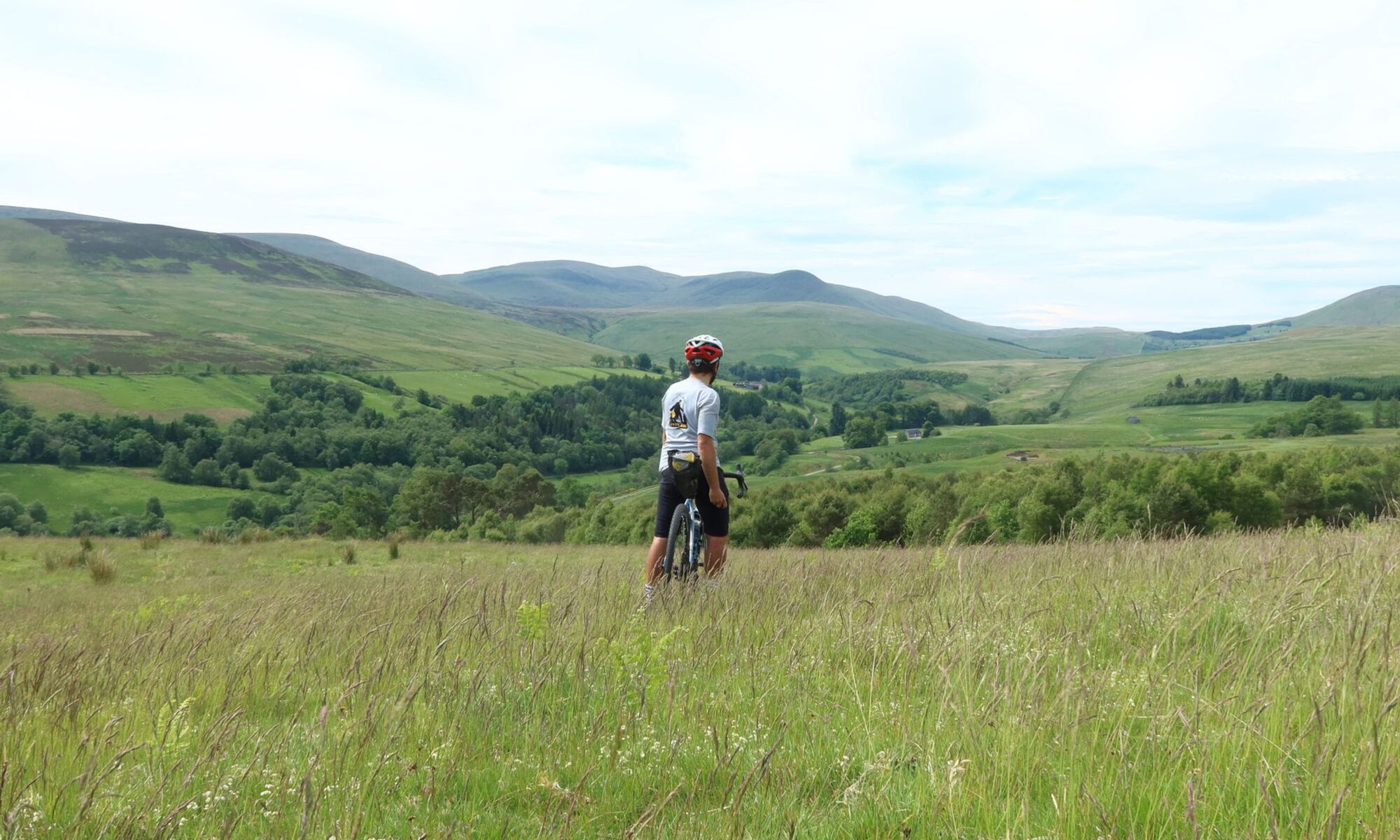
Starting at Comrie Croft, the route follows a short section of singletrack out of the hub and into a beautifully dense forest, passing an impressive waterfall. On well-maintained gravel tracks the first highlight of the route is an alley of giant redwood trees before the route reaches a gate at West Lodge Caravan Park and continues on the busy A85 for a short section. Shortly after the skate park the route follows a tarmac road to a parking lot, which can be used as an alternative starting point. The western loop starts with crossing the River Lednock on a wooden bridge, before continuing on a gravel path on the northern edge of the village. From here the route enters the River Earn National Scenic Area. After another short tarmac section the route follows a beautiful walking trail along the River Lednock, before reaching Monument Road for a short section on tarmac. Shortly afterwards the route follows the Maam Road, an old cattle droving road, which is one of the most scenic sections. A detour to the Melville Monument is possible from here, but the track to reach the monument requires very good riding skills on a gravel bike, with the last section only suitable for pushing. The views from the monument on a good day are breathtaking. The Maam Road follows mainly gravel tracks, only the last section before crossing the A85 is on a singletrail through a pine forest.

After crossing the A85 at Kindrochet House, head for the gate at the corner of the field to the right, joining the cycle path on the old railway line from St. Fillans to Comrie, before joining a minor road. It passes Aberuchill Castle and a few other houses, before joining a gravel track towards Tomanour. The next section of the route is very remote, please make sure you are properly equipped, as it takes you through very remote terrain. Less experienced riders can skip this part by continuing on the road past Aberuchill Castle and rejoining back at Bridge of Ross.
The route continues on a landrover track to a disused quarry on the slopes of Ben Halton. At OS grid NN725 187, 400m past the intersection at Carsehalton / An Sidhean, the route branches left through a gate and heads over to Meall Na Gaisge. There is no defined path, and the ground is boggy. Expect to be pushing your bike for about 500m to Meall na Gaisge, where a sheep track then leads off the hill and down a steep grassy slope to the bottom. The area off the track is very boggy, and likely impassable in winter. The views from here towards Glen Artney are worth the extra effort climbing.
On a mixture of landrover and singletrack the route descends towards Comrie. Some sections in the forest can be very boggy and require pushing and good footwear, but there are plenty of streams in the forest for water. On the final section Dalrannoch Road takes you into the village, passing the Earthquake House along the way, from where the eastern loop takes you to Crieff.

The first section of the eastern loop follows Cowden Road, which is connected via a path with Glascorrie Road. Passing Auchingarrich Wildlife Park the route continues on Glascorrie Road, and then follows minor roads before a gravel track branches off on the left. A possible detour to get here is to Cultybraggan Camp, following Langside Road (A 827) and rejoining the route at Glascorrie Road.

Once on the top, the route follows great gravel tracks through a dense forest, which offers superb views over the valleys towards the north on clearings. Descending, the route joins Balloch and Muthill Road into Crieff. The route passes through Crieff on a mixture of tracks and roads. If tired, Crieff is a good alternative end, as the following section involves a good bit of climbing and exposed sections, taking the A85 back to Comrie Croft on tarmac.
The route continues on Turretbank Road out of Crieff, and after it crosses the Turret Burn on a track through a beautiful forest to Glenturret Distillery, where a cafe and shop await visitors (the route passes through the grounds). From here the route passes through the grounds of Ochtertyre House, and after an alley with huge trees, joins the A85 for a short section. Through a gate a track follows the shores of Loch Monzievaird, past the remains of an old fortress called Castle Cluggy. After another short section on tarmac the route follows a small road up the Conalter Burn, and turns into a gravel track.

Passing a small hill the route then descends towards the road up the Turret Burn. The route climbs on this scenic, but rough, tarmac road to the dam, from where a well-maintained landrover track leads westbound over the open hillside. This section can be very exposed. A rougher track descends past a house at Breafordie and a small lochan, and on more landrover tracks towards the valley. The views towards Comrie and the hills in the surroundings are superb from here. Joining a gravel track at the edge of the forest the route leads back to the starting point at Comrie Croft, which offers a cafe and accommodation.

Route Map
Local Services
Discover and support local businesses along the route.
Bike Services & Rentals
If you're in need of some extra supplies, a hand with some quick bike repairs or looking to hire something new, you can rely on our trusted friends below.
