Overview
Route Details
- The route includes some gates over which bikes need to be lifted
Route Description
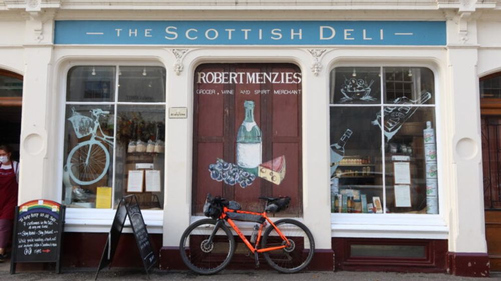
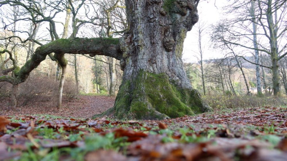
Starting at the Scottish Deli in Dunkeld, the route crosses the iconic River Tay and then follows a riverside path to the Birnam Oak. The oak and its neighbour, the Birnam Sycamore, are thought to be the sole surviving trees of the great forest that once straddled the banks and hillsides of the Tay. This forest is celebrated in Shakespeare’s Macbeth as the famous Birnam Wood. From here the route joins Sustrans NCN 77 through Birnam Glen and past Dunkeld and Birnam station (which can be used as alternative starting point). The route follows a cycle path and then the B867.
Instead of continuing on NCN 77, the route follows a gravel path past a few houses on the left into Murthly Estate. It passes a Roman Bridge over the Birnam Burn on the left, and continues on a landrover track along the banks of the Tay. Murthly Castle is worth a detour, before the route follows a tarmac road out of Murthly Estate and rejoins the B9099 to cross the Tay at Caputh. In the village the route follows a path on the right to Spittalfield.

In Spittalfield, a historic weavers village, the Walkin’cafe offers a warm and friendly welcome, delicious homemade soup, sandwiches, cakes and coffee/tea. The route leaves the village on Millhole Rd, before it rejoins a public road to Loch of Clunie, where the ruins of a castle can be spotted on a small island. If you feel like kayaking, Outdoor Explore offers guided trips here, and Piotr has a wealth of knowledge about the loch.
The route follows minor roads to Craigie and Essendy, where Aikenhead House offers cycle-friendly accommodation and friendly animals. Following Essendy Road the route soon takes a right turn to Bluebell Woods and Loch Fingask. Please take care here, as this woodland is popular with walkers and dog walkers. The route continues through Blairgowrie, Scotland’s Berry Capital, where shops, places to eat and a bike shop (Crightons Cycles) can be found.

Blairgowrie is the start and finish of the Cateran Trail, and part of the Cateran Ecomuseum, which tells the story of its people, places and landscape in a museum with borders (you’ll cycle through it for the next kilometres).
Climbing legs are necessary from Blairgowrie, as the route climbs steeply towards the Knockie, an amazing viewpoint for Blairgowrie and the Sidlaw Hills beyond. The next section of the trail can be very muddy at times, but soon after the route joins the Cateran Trail, bypassing East Gormack on a new section of the trail. Please note that there are some kissing gates along this section, which require lifting the bike. An alternative will be to cycle along the A923 towards Dunkeld, and take the road on the right in Kinloch and rejoin the route after the Lonty Burn.

The Cateran Trail rejoins a small road, which turns into a gravel road. After Middleton another new section of the Cateran Trail offers excellent riding, rejoining a double track at the top.

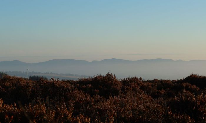
The route follows the landrover track over open moorland, with Glasclune Burn running parallel in the north. This is a remote and exposed section, but the views are breathtaking on a clear day. After a gate (closed, but bike can be lifted over) the track improves and turns soon after into a private tarmac road.
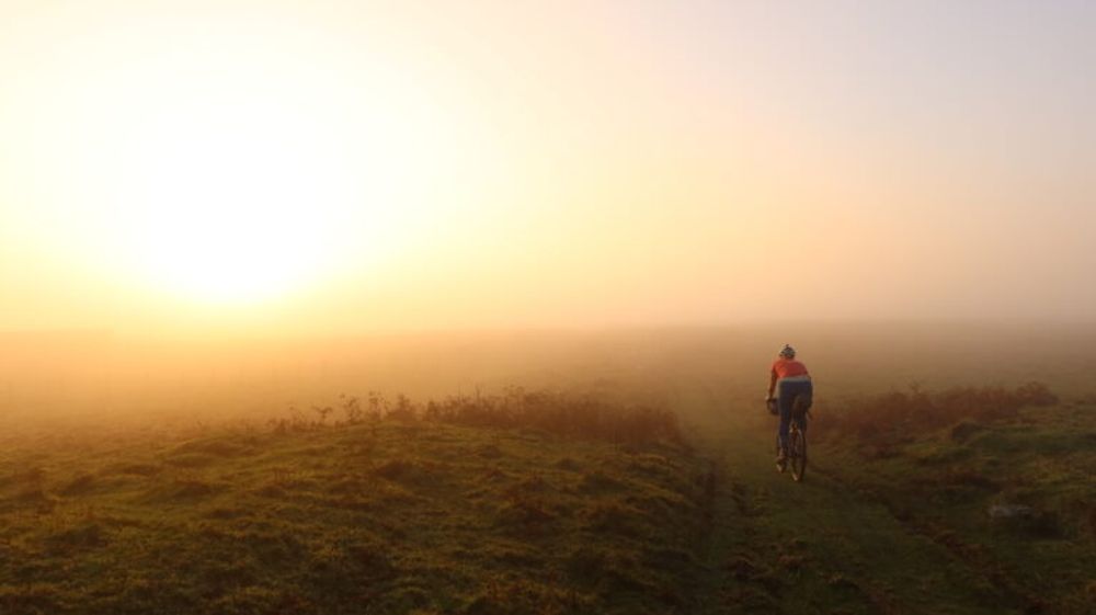
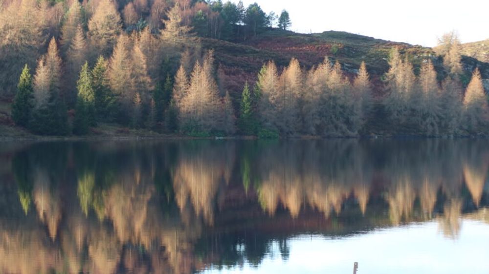
The route crosses the Buckny Burn and continues to Loch Ordie, one of the most scenic lochs in Highland Perthshire. The track on the shores of the loch can be muddy at times, but improves as the route passes a bridge and continues to Dowally Loch, Rotmell Loch and Mill Dam. This is a fantastic descent on a gravel bike. After passing Cally Car Park (another alternative start and finish) the route descends on a short stretch of the A923 to the finish in Dunkeld. Progression Bikes in Dunkeld is a good address for hiring adventure bikes and equipment, and Jessie Mac’s is a welcoming place to stay for the night.
Route Map
Local Services
Discover and support local businesses along the route.
Bike Services & Rentals
If you're in need of some extra supplies, a hand with some quick bike repairs or looking to hire something new, you can rely on our trusted friends below.
- Progression Bikes -Bike Shop
