
Overview
Route Details

Route Description

From Sma’ Glen the route follows the B 8063 east along the River Almond. At Milton Farm the route leaves the tarmac again to climb into Little Glenshee on landrover tracks. Reaching the highest point at 560 m the route descends through Glen Shee and then towards Bankfoot, a small village with shops, a pub and hotel.
From Bankfoot the route follows a mixture of good tracks and paths towards the Pass of Birnam, and along the railway line to Birnam. The last section is on a technical singletrack through the forest, where care is needed. An alternative route crosses the railway line at Birnam Quarry and joins Sustrans NCN 77 here towards the station. Crossing the railway at the station the route reaches Dunkeld and Birnam, which are well-connected by train, the A9 and Sustrans NCN 77, and are often regarded as Gateway to the Highlands.

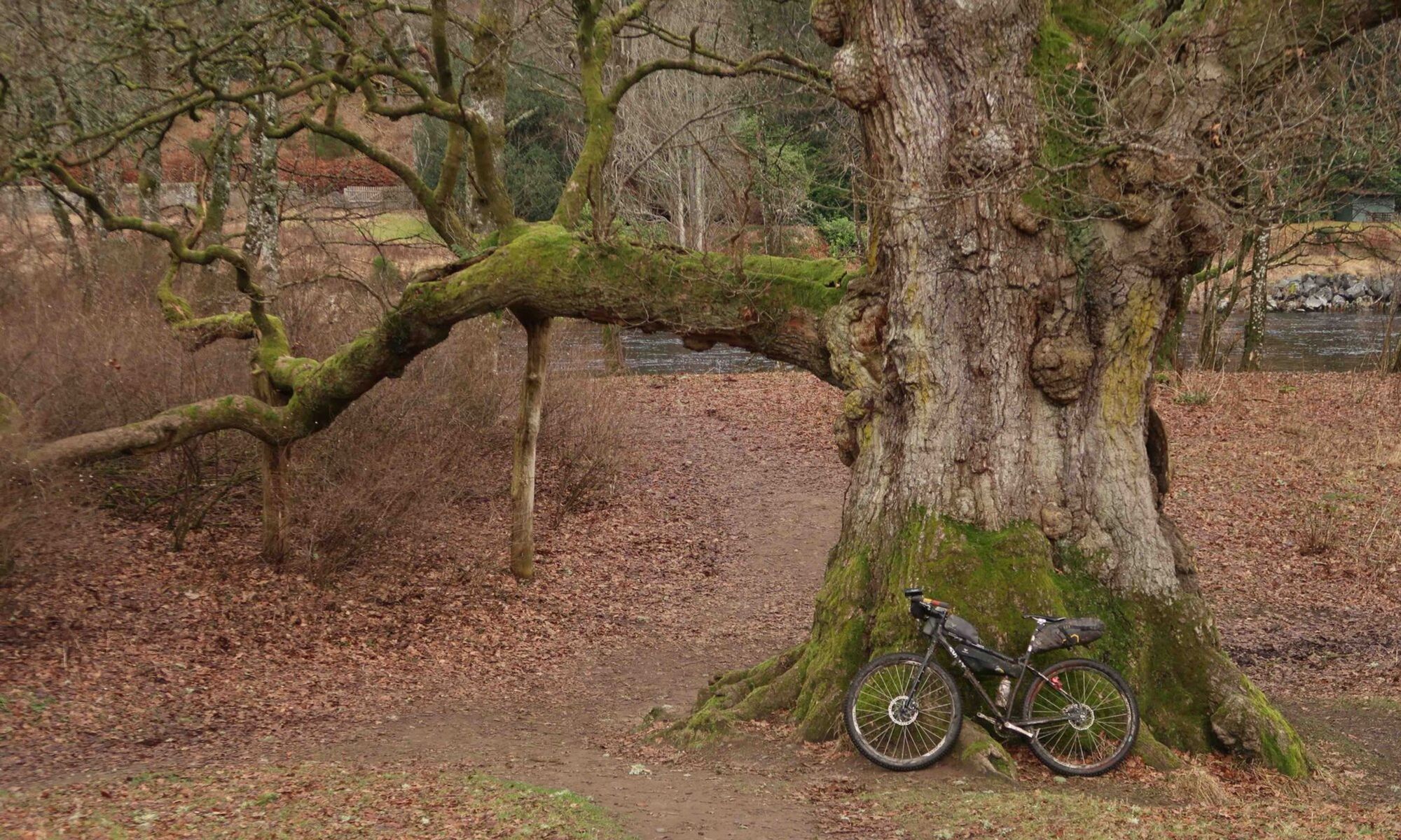
Home of the World Haggis Eating Championships, Dunkeld and Birnam are two villages on the banks of the River Tay, linked by a bridge built by Thomas Telford in 1809. Birnam, on the south bank of the Tay, has a range of shops, accommodation and places to eat, as well as an arts centre, railway station and the Birnam Oak, mentioned in Shakespeare’s Macbeth, which the route passes.
Dunkeld, on the north bank of the Tay, has a cathedral and a range of places to stay and eat. There’s a supermarket in Dunkeld and a well-stocked bike shop, Progression Bikes, which also hires bikes and equipment. The Scottish Deli is a popular shop for local produce. Twenty of the houses within Dunkeld have been restored by the National Trust for Scotland.

After Dunkeld the route passes through The Hermitage under giant Douglas firs, which are among the tallest trees in Britain. Managed by the National Trust for Scotland The Hermitage also hosts Ossian’s Hall of Mirrors, a good place to spot salmon jumping up the Black Linn falls of the River Braan. Leaving the woodland the route follows Wade’s Military Road on a small tarmac road to Ballinlick, before it climbs steeply on a gravel track to Griffin Wind Farm. Following gravel roads to service the turbines, the route then joins the forest, where a short hike-a-bike section through a very boggy clearing connects two service roads.
From here the route descends past the hill fort of Castle Dow to join the B 898 and Sustrans NCN 7 to cross the River Tay near Pitnacree. Heading briefly east on the A 827 the route then climbs up a very good gravel road into Ballechin Wood. Following an access road for the Duntanlich Mine, the route crosses the A 9 south of the town and follows cycle paths and quiet roads to the finish in Pitlochry.
Route Map
Local Services
Discover and support local businesses along the route.
Bike Services & Rentals
If you're in need of some extra supplies, a hand with some quick bike repairs or looking to hire something new, you can rely on our trusted friends below.
- Progression Bikes -Bike Shop
