
Overview
Route Details

Route Description

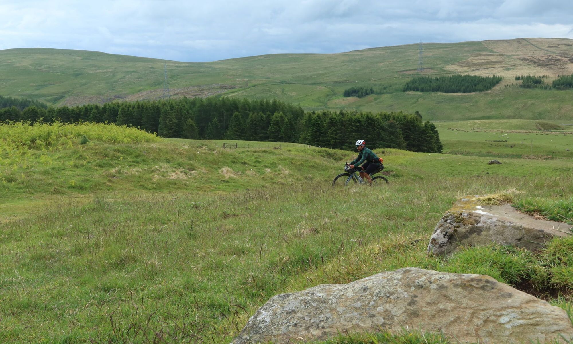
From Ardtalnaig the route follows a former drove road to Comrie. This is the most difficult and remote section of the route and requires good navigation skills, especially in bad visibility. A smooth tarmac road follows Gleann a’ Chilleine south and soon turns into a rough road at Claggan, climbing further to Dunan, a small private stalkers hut (locked). The route continues on the northern side of the river until a small dam is reached, where either the ford or the dam provide an opportunity to cross. A steep landrover track climbs to about 600 m altitude, where the route leaves the track and crosses the moor to the bealach (pass) at 633 m, with no track for about a kilometre. Reaching the bealach, a good track follows the on the west side of the Invergeldie Burn to Coishavachan, where the route follows a quiet public road down Glen Lednock. At Kiln the route leaves the road again and crosses farmland to reach the northern bank of the River Lednock. It crosses a smaller stream and then reaches a landrover track, passing Balmuick Cottages. The track continues and meets the River Lednock again, and from here the route follows a walking path to Comrie.
Comrie is a village on the southern border of the Scottish Highlands. The village sits in the middle of Glen Lednock and Glen Artney and has a range of local shops with places to stay and eat out. Comrie’s geological position on the Highland Boundary Fault has caused it to experience more earth tremors than anywhere else in the UK. You can see a replica of the world’s first seismometer, installed in 1874, at the tiny Earthquake House nearby at Dalrannoch.

The route passes on the eastern edge of the village and joins the A 85 to West Lodge Caravan and Camping Park, where it leaves the busy road and follows a path through an alley of giant redwood trees. It then follows good gravel tracks to Comrie Croft, which has a great network of mountain bike trails, a well-stocked bike shop with bike and equipment hire, hostel accommodation, a farm shop and café. From here the route follows the A 85 for a brief stretch eastbound. Shortly after Carse of Trowan the route follows a minor road to the right, and then climbs on forest paths over a few hills and past a small lochan to Crieff.
Throughout medieval times Crieff was a major political and judicial centre that developed into the main cattle trading centre in Scotland between the 16th and 18th centuries. Drovers, and up to 30,000 black cattle, would converge on the huge livestock market. Nowadays Crieff offers plenty of accommodation and places to eat, as well as the biggest supermarket on the route.

Following paths and quiet roads through town the route passes Crieff Hydro Hotel and then follows a well-maintained gravel track around the Knock of Crieff. The route then descends on a singletrail to Glenturret Distillery, Scotland’s oldest distillery. The cafe here is a great place to rest for a while. Following the Turret Burn, the route climbs on tarmac to Loch Turret Reservoir. Robert Burns’ visit here in 1787 inspired him to write his poem A Wild Scene Among the Hills of Oughtertyre. The route follows a gravel track through a stunning upland landscape to join the A 822 at the Falls of Monzie. Following the road for a while, the route then traces General Wade’s Military Road to re-join the A 822 at Sma’ Glen, from where cattle drovers in the early 18th century arrived from the shores of Loch Tay to the market at Crieff.
Route Map
Local Services
Discover and support local businesses along the route.
Bike Services & Rentals
If you're in need of some extra supplies, a hand with some quick bike repairs or looking to hire something new, you can rely on our trusted friends below.
