
Overview
Route Details

Route Description

From the House of Bruar the route follows Sustrans NCN 7 to Calvine and joins the B 847 towards Kinloch Rannoch, crossing the River Garry shortly after the turnoff. The road follows the Errochty Water through a stunning valley. Halfway through a smooth wide track climbs gradually into forest, following another wide and smooth gravel track towards Loch Bhac through the Tay Forest Park.
NOTE: when you turn left off the B847, check you have the correct turning. If you go down a short drive to a ford over the river, that’s the wrong way. Please do NOT carry on over the ford to the private house / garden on the other side. You don’t need to get your feet wet!
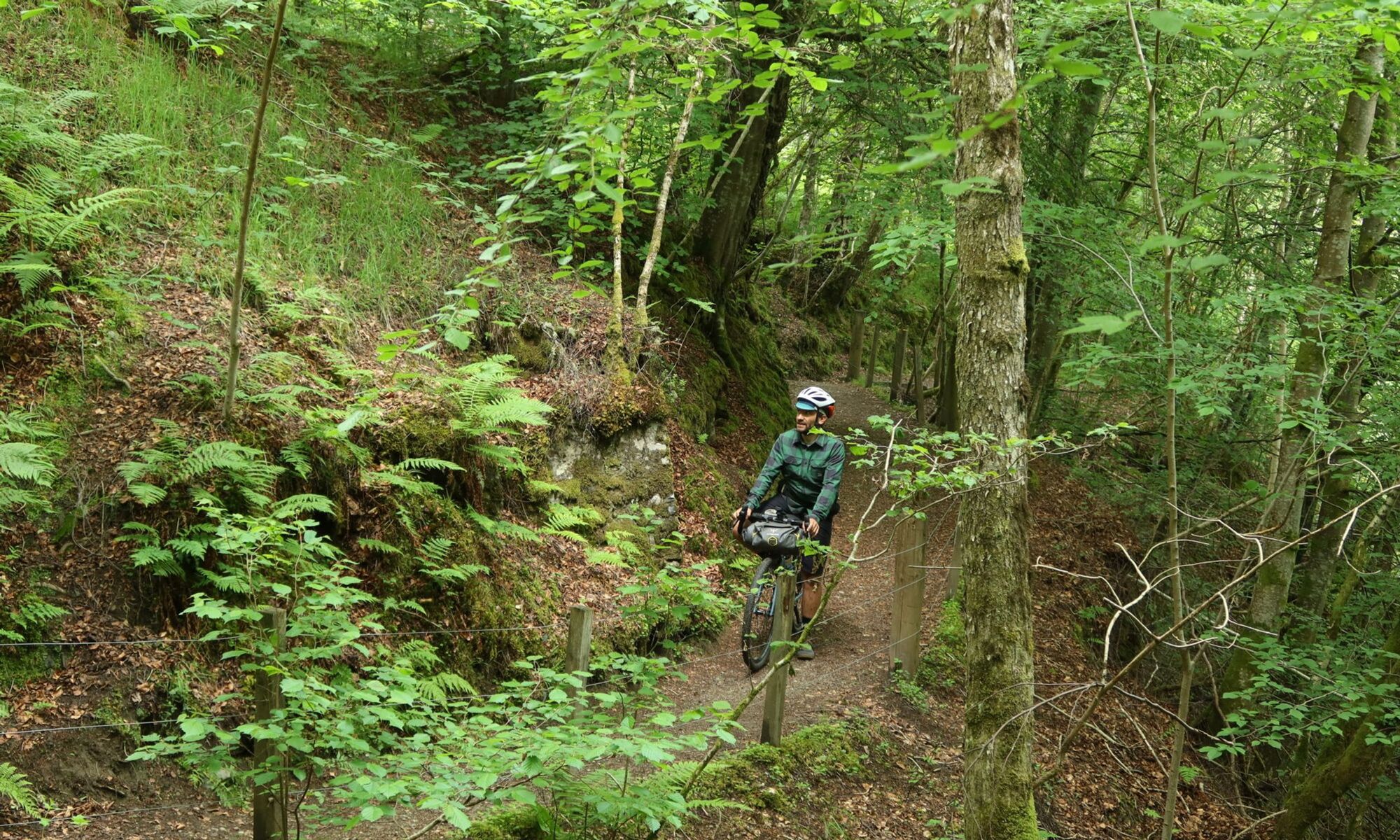
Carry on along the B847 another 1400m, turn left down a quality forest road and cross over the burn at a bridge.
A small detour to Loch Bhac offers a great setting for a break. From here the route descends through Allean Forest towards the Queen’s View, which overlooks Loch Tummel. The lookout is named after Queen Victoria, following her visit to the area in 1866, and is one of Scotland’s most remarkable views.
From here the route follows the B 8019 on the northern side of Loch and River Tummel, passing Bonskeid House. Shortly afterwards a gravel track heads south towards the river. The route leaves the track at a clearing, crossing on a singletrack under pylons to finally reach the Coronation Bridge, a suspension footbridge over the Tummel. From here the route joins the road south of the river back to Netherton on Loch Tummel.
From Netherton a steep track climbs south past Duntanlich Lochan and heads west towards its highest point near Beinn Eagagach, crossing the Duntanlich Mine Road. This is another very remote part of the route with no shelter. Past Loch Derculich the route descends on well-maintained farm tracks and minor tarmac roads, to join Sustrans NCN 7 near Cluny House Gardens, a secluded, unique woodland garden overlooking the scenic Strathtay Valley.

Following NCN 7 to Strathtay the route then crosses the River Tay between Strathtay and Grandtully, and then follows an old railway line along the river towards Aberfeldy. Near Pitcairn Church the wide path narrows to follow the river to Dewar’s Aberfeldy Distillery. From here the route follows the A 827 into Aberfeldy.
Famous for its mention in the poem The Birks Of Aberfeldy by Robert Burns the small market town on the Tay is a great overnight stop. Aberfeldy has no train station, but can be reached by bike on Sustrans NCN 7 and NCN 77 from the train stations in Dunkeld or Pitlochry. A supermarket, various restaurants and pubs offer good choices for food, while the Art Deco cinema is great for entertainment. The town is well-known for Wade’s Bridge, built in 1733, who considered this bridge to be his greatest accomplishment. A striking memorial to the soldiers of the Black Watch Regiment (the Royal Highlanders) overlooks Wade’s Bridge and the River Tay, while further east along the river another unique bridge, the Aberfeldy Footbridge, is constructed entirely of composite materials and is worth a short detour. Highland Safaris in Dull, about 6 km one way, offers bike hire and a great cafe.

Turning south in the centre of town on the A 826, the route shortly afterwards follows a footpath on the western side through the Birks of Aberfeldy. Originally called the Den of Moness, the birks (from the Scots for birch trees) overlook the Falls of Moness and line the slopes of the Moness gorge. Some sections are steep and nearer the top there are a few wooden steps and a small bridge that require getting off the bike and pushing.
The route then follows the Rob Roy Way on the northern side of the River Tay, with spectacular views towards Schiehallion and Ben Lawers. Joining the road towards Amulree the route shortly afterwards continues on a forest track towards Balmacnaughton and on a landrover track known as the Queen’s Drive, in memory of Queen Victoria’s visit to the area in the 19th century, to the Falls of Acharn, situated in a spectacular wooded gorge. The route follows the Queen’s Drive on the western side of the falls, where a small man-made cavern, known as the Hermit’s Cave, invites to rest. The descent towards the road on the southern edge of Loch Tay is steep and loose, so extra caution is needed here. The Scottish Crannog Centre is only a short detour of 2 km back towards Kenmore. The route follows Sustrans NCN 7 on the South Loch Tay road to Ardtalnaig.
Route Map
Local Services
Discover and support local businesses along the route.
Bike Services & Rentals
If you're in need of some extra supplies, a hand with some quick bike repairs or looking to hire something new, you can rely on our trusted friends below.
- Escape Route -Bike Shop
- Draft & Flow Community Cycle Workshop -Bike Repair
- Beyond Adventure -Outdoor Guide, Bike Rental
